Seattle WA Map v1.0
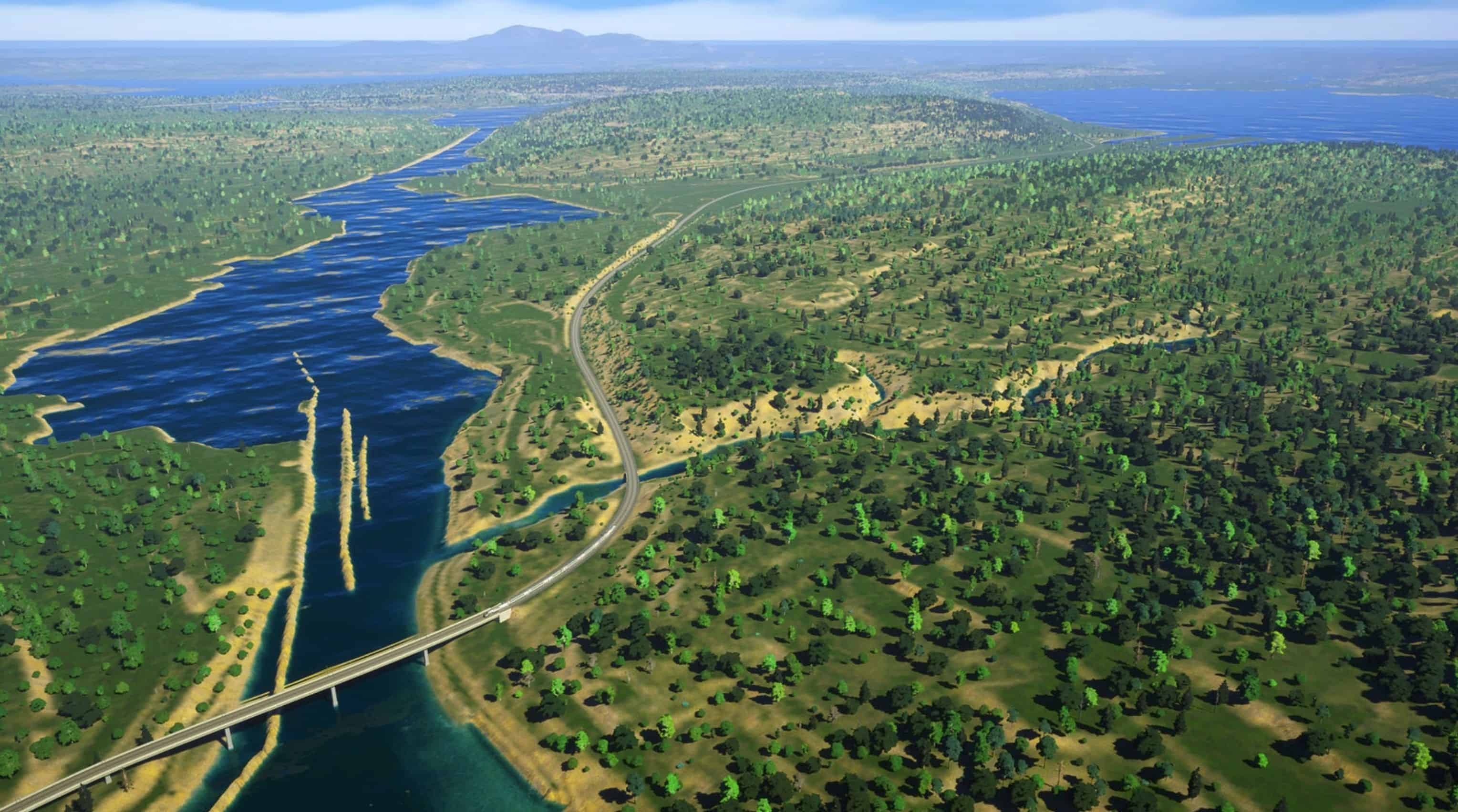
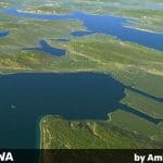
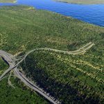
A realistic 1:1 map of Seattle, WA, featuring terrain and bathymetric data sourced from the USGS and NOAA (Map services and data available from U.S. Geological Survey, National Geospatial Program). Heightmaps have been translated, merged, and exported with QGIS. The map has hundreds of thousands of hand-placed trees by me and 3 epic custom intersections by my friend and fellow mapmaker, Sidai.
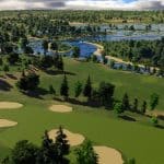
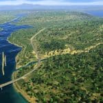
The shorelines and waterbodies have been cleaned and adjusted by hand. The I-5 freeway runs across the entire map from north to south. The Lacey V. Murrow floating bridge provides an outside connection to the east. Major train arteries and ship paths have been added, and planes are ready to land. Three golf courses have been represented with area-tool greens, fairways, and sandpits — the Interbay Golf Center, the Broadmoor Golf Club, and Jackson Park Golf Course. Special care has been given to the shorelines along the Washington Ship Canal, Lake Union and Union Bay.
Two highly-detailed matching overlays have been created in the map coordinate system EPSG:25833. One is a diagram from Open Street Map, and the other is a satellite orthophoto view from Google, both at 16834×16834 pixels. They work best with algernon’s new Image Overlay mod.

