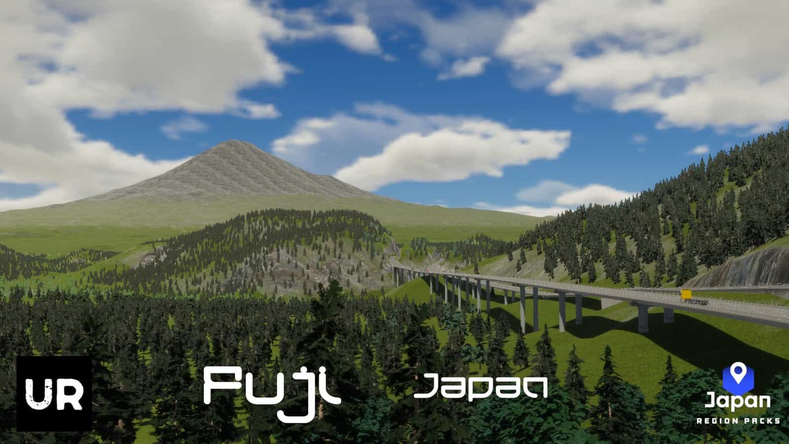
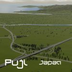
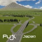
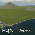


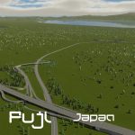
Fuji – Japan Map v1.0
Fuji is a city in eastern Shizuoka Prefecture, Japan. As of 1 December 2019, the city had an estimated population of 245,015. Fuji is the third largest city in terms of population in Shizuoka Prefecture, trailing Hamamatsu and Shizuoka. Located on the banks of the Fuji River, most of the city of Fuji enjoys good views of Mount Fuji, part of whose summit is within the city borders. The city is bordered to the south by Suruga Bay on the Pacific Ocean.
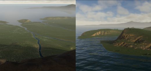
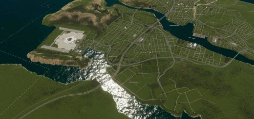
This is a 1:1 scale map using topographical data. All outside connections and resources are available on the map, including water and sewage connections.
Networks include the Tōkaidō Shinkansen line and various expressways.
– European
– Buildable Area – 64%
– Outside Connections – Highway, Rail, Shipping, Air, Water & Power
– Natural Resources – Agriculture (59.1km2), Forestry (394kt), Ore (73.7kt), Oil (37.9kt)

