Norfolk VA
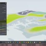
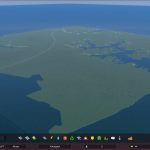
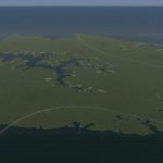
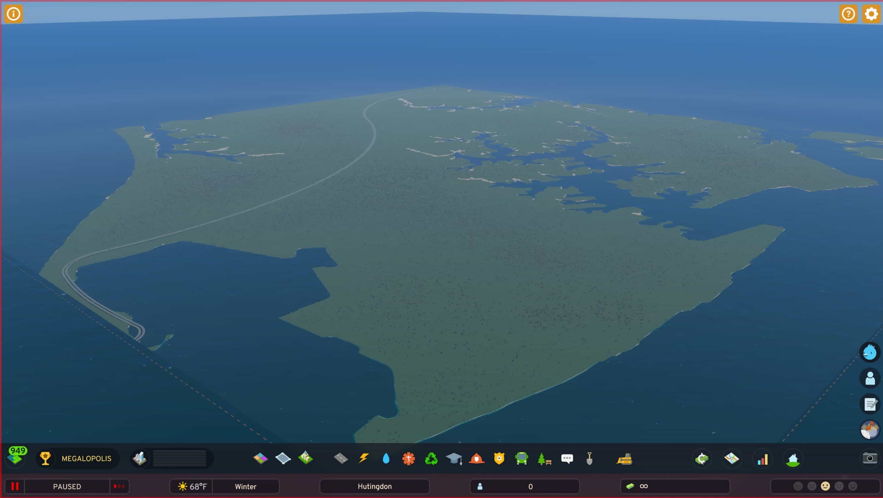
This is a map based off a 1m DEM Height Map provided by USGS of Norfolk, VA. The cultural center of the Hampton Roads region in Virginia, with a metropolitan population of 1.8 million, it boasts a number of tidal estuaries and natural harbors that have made it an integral part of the development and defense of the United States eastern seaboard since colonial times. Pronounced NAW-fick by natives, many of Norfolk’s population are transient, serving at the largest naval base in the world, Naval Station Norfolk. It is also a cargo transit hub, serving as a transfer point for sea cargo to rail.
This map is an approximate 1:1 recreation of the geography of Norfolk, with some modifications for gameplay. The Norfolk area is relatively flat and barely above sea level (making it prone to flooding), which was reflected in the heightmap, but I raised parts of the terrain slightly for variation. Coastal edges were softened, and some creeks and tidal lakes removed from the map, most notably Oastes Creek and parts of Lake Whitehurst. I also removed some parts of Portsmouth from the western edge of the map to allow wider room for sea routes.
All resources are available, except groundwater resources, being that the groundwater is saturated with salt water. There are wide swaths of farmland, but I made an internal rule that it should not be close to the rivers (technically tidal estuaries) since repeated flooding would cause the land to have high levels of salt. Instead, areas close to the estuaries have substantial oil deposits, reflecting millions of years of flooding and dead trees (even though there is no oil in the Norfolk area). I have also added a large deposit of ore on the eastern edge of the map.
There are several sea, air, road, and rail connections. I have approximated the routes of I-264, and I-64, but they are not 1-1 recreations due to map size limitations. However, I-264 does cross the Elizabeth River at the approximate point of the Berkeley Bridge, and I-64 leads to Willoughby Spit and exits the map at approximately the point of the Hampton Roads Bridge-Tunnel. A rail connection crosses the Elizabeth River near the approximate location of the Campostella Bridge and leads to Lambert’s Point, approximating it’s real course through Norfolk.The starting tile of the map is around Norfolk’s Downtown at City Hall Avenue and Macarthur Center. I recommend playing with Wayz’s Unlock All Tiles mod, so you can play the full map.
This map is a work in progress and I am open to suggestions for improvement. This is my first map made for CS2, and I never really touched map editing in CS1, so I am learning. Since the map editor is NOT released, I am unable to modify the wind direction or speed. Also, I would not touch any of the water settings in dev mode. It took about 2 hours for the water to fully settle at the correct height in all of the narrow streams of the Elizabeth and Lafayette rivers. I also cannot help with map importation/installation, and am not responsible for any bugs that may occur from modifying your game before the official tools are released.
Let me know what you think of the map! I think the water features should allow for some interesting layouts!




The water on the border is very high. other then, its a nice map.