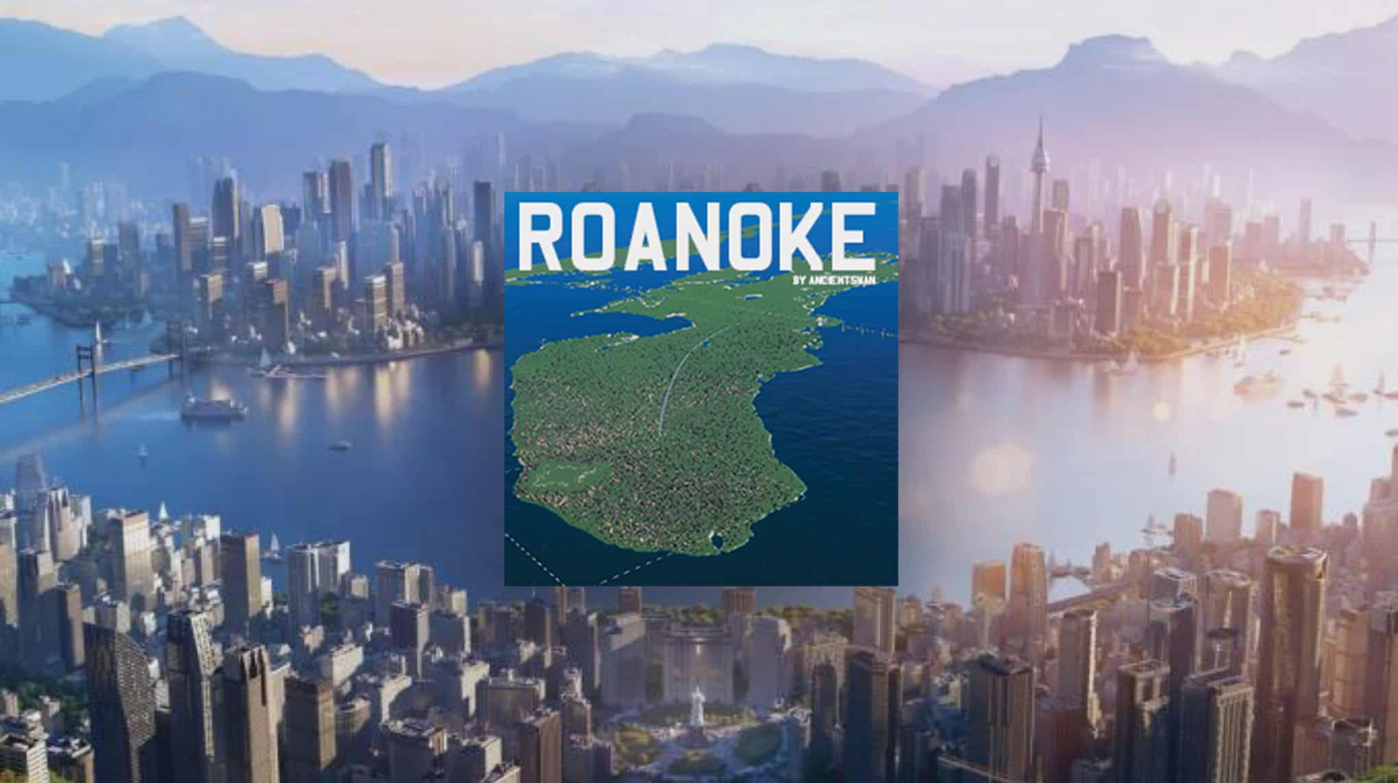
Roanoke Map v0.0.1
Sir Walter Raleigh’s establishment of the Roanoke Colony represented an early attempt to create a permanent English settlement in North America. This endeavor followed the 1583 claim of St. John’s, Newfoundland, by the English under Sir Humphrey Gilbert, marking it as the first English territory in the continent. The initial settlement attempt on Roanoke Island, now part of Dare County, North Carolina, USA, was made in 1585. However, this colony failed, leading to a second attempt in 1587 under John White. This second colony, also on Roanoke Island, famously became known as the Lost Colony due to the mysterious disappearance of its inhabitants.
Led by Lane, the first colony struggled with inadequate supplies and strained relations with local Native American tribes. In 1586, faced with a delayed resupply mission, Lane and his group left for England with Sir Francis Drake. Shortly after their departure, Grenville arrived and, finding the colony deserted, left a small group to maintain Raleigh’s claim before returning to England.
The ongoing Anglo-Spanish War hindered the delivery of supplies to Roanoke until 1590. When the supply ships finally arrived, they discovered the settlement deserted and fortified, with the enigmatic word “CROATOAN” carved into a palisade. White believed this indicated the colonists had moved to Croatoan Island. However, adverse sea conditions and a lost anchor thwarted his efforts to investigate further, forcing a return to England.
The exact fate of the 112–121 colonists remains a mystery. Early theories, surfacing around 1605, suggested they might have integrated into nearby Native American tribes. Subsequent inquiries by Jamestown settlers yielded reports of a massacre and sightings of Europeans among Native Americans, yet no conclusive evidence emerged. The story languished in obscurity until 1834 when George Bancroft reignited public interest with his narrative in “A History of the United States.” Despite modern investigations, the disappearance of the Roanoke colonists continues to elude historical and archaeological explanation.
Installation:
– Extract the .cok and .cok.cid files into your folder “AppData/LocalLow/Colossal Order/Cities Skylines II/Maps”
– If there is no “maps” folder yet in this folder, create a Maps folder.
Map Information:
THEME: North American
CLIMATE: 10 – 31 C
LATITUDE: Northern Hemisphere
BUILDABLE AREA: 61%
OUTSIDE CONNECTIONS: 3 Ship Connections, 3 Air, 3 Road, 2 Train
NATURAL RESOURCES: Fertile, Oil, and Ore and cover most of the land.
Dependencies: BepInEx-BepInExPack


