Tenochtitlan Map v0.0.1
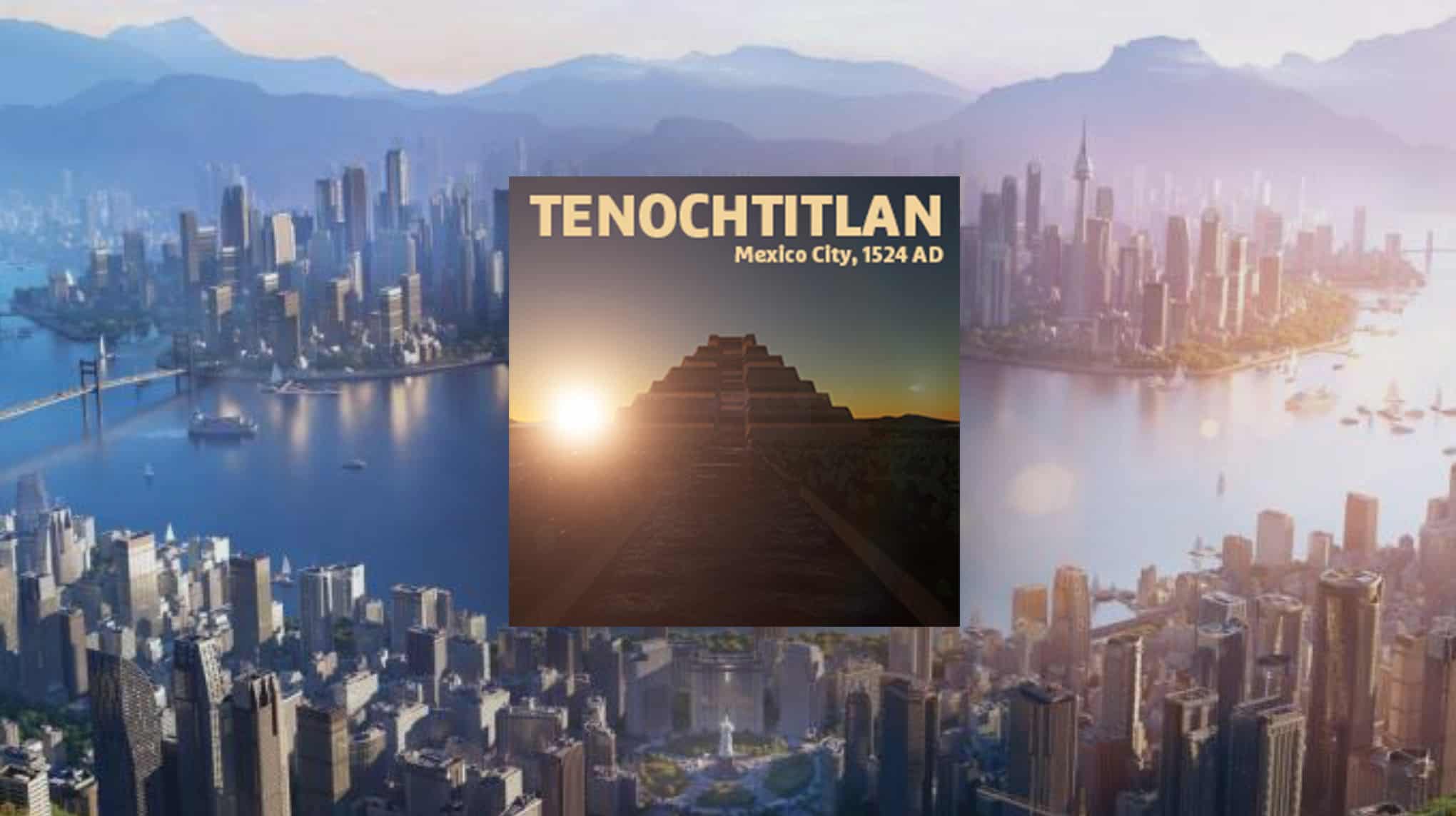
Tenochtitlan, Mexico City, 1524 AD.
This map was born out of my trying to understand greyscale DEM maps, and how better to do that than with pyramids?
Where the modern day Mexico City now stands, was once a great lake, Lake Texcoco, where the ancient Aztec capital, Tenochtitlan was built. Destroyed by Spain in 1525, the great Aztec city and its lake are now gone. This map represents the area before the Spanish came calling.
This map is based on the 1524 Hernan Cortes / Nuremberg map.
Tenochtitlan was a Venice-like city, made of hundreds of islands and canals, which is reflected in the map.
Installation:
– Extract the .cok and .cok.cid files into your folder “AppData/LocalLow/Colossal Order/Cities Skylines II/Maps”
– If there is no “maps” folder yet in this folder, create a Maps folder.
Map Information: CLIMATE: 11 – 27 C LATITUDE: Northern Hemisphere BUILDABLE AREA: 40% OUTSIDE CONNECTIONS: All Connections available. Road. Rail. Sea. Air. Power. NATURAL RESOURCES: Fertile, Oil, and Ore and cover most of the land.
I’ll update the above when new themes and climates become available.


